All Services
Elevation Mapping
Elevation mapping provides data to optimise land levelling, improving water flow and resource efficiency.
Key Features
High Precision
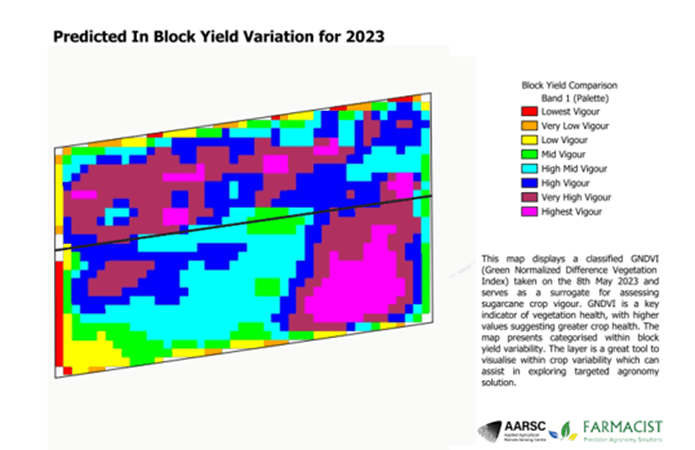
Satellite imagery analysis
Custom prescription map generation
Get Started
Detailed Features
Land levelling surveys
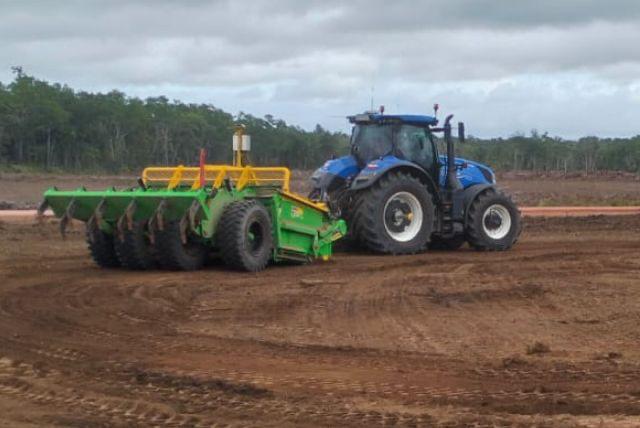
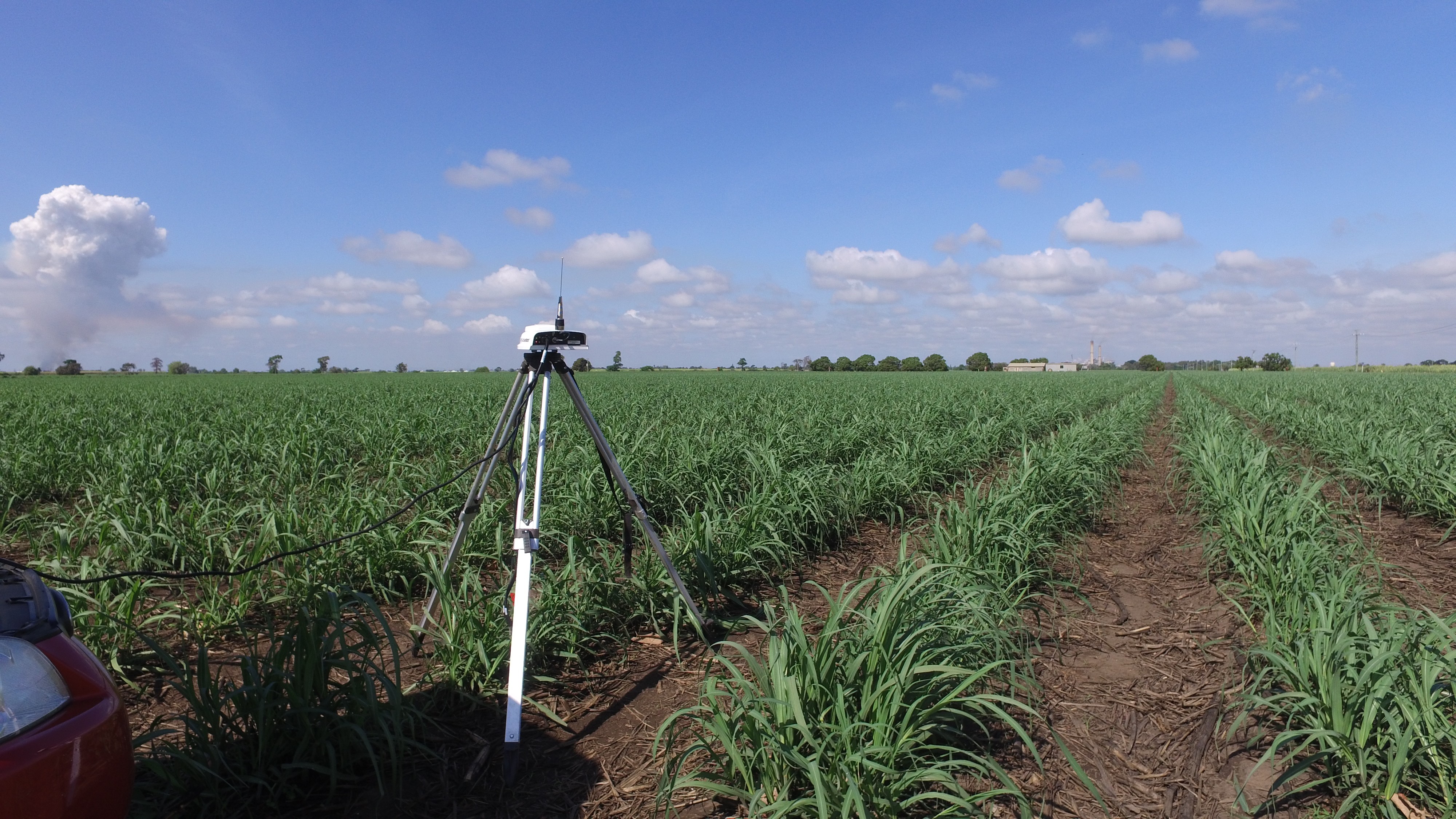
Land levelling surveys provide precise elevation data to help farmers achieve tailored land contours that suit their specific needs, optimising water distribution and resource efficiency. Using GPS-guided technology, these surveys offer centimetre-level accuracy, allowing for customised slopes that prevent waterlogging and improve irrigation effectiveness. This precision supports even crop growth, reduces water usage, and enhances soil management, making land levelling an essential tool for sustainable and productive farming.
Key Points
Customised contour mapping
Centimetre-Level Accuracy
Enhanced crop performance


